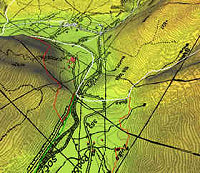
GIS Mapping
For more information on our Mapping/GIS/GPS services,
please contact our GIS Technician at njankowski@forestfloorcontracting.ca
Timber Development
-
volume estimates, timber reconnaissance, timber value estimates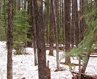
-
timber cruising and compilation reports
-
harvest block layout including boundary, riparian zones,
and wildlife retention areas
-
Road layout and design
- BCTS Ltd. Timber Sale License development
-
Cutting Permit applications under Forest License tenure
-
Small Scale Salvage using Forestry-License-to-Cut (FLTC)
Salvage Non-Replaceable Forest
License Management
-
Forest Stewardship Plan (FSP) development and implementation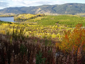
-
FRPA compliance and monitoring
-
Liaison with all stakeholders including First Nations
-
Cutting Permit applications including all required legal
assessments
Silviculture
-
Stocking/plantability, regeneration, brushing, pre-stand
tending and free growing surveys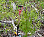
-
Full phase planting implementation including procurement
of seedlings
-
Supervison/monitor pre-stand tending projects (brushing and
spacing)
-
Silviculture site plan development (MS Word, GENUS, other
formats)
Mountain Pine Beetle Management
-
Aerial and ground detection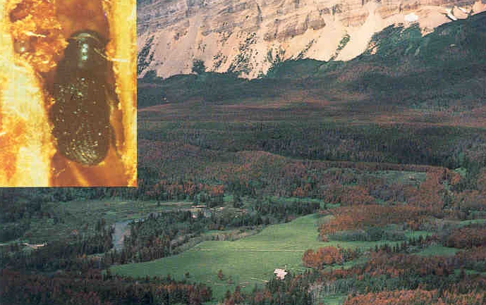
-
Treatment prescription development
-
Small-scale salvage harvest layout (boundaries, roads and
skid trails)
-
Eradication and post harvest slash disposal
Oil and Gas Development
-
On-ground layout including harvest boundaries, roads, trails
and riparian zones
-
Timber volume estimates for appraisal purposes
-
Silviculture site plan development including amendments to
existing site plans
GPS Data Capture
-
Government required appraisals (ECAS)
-
Private forest tenure activity reporting (RESULTS)
-
BCTS reporting and data management (GENUS)
Electronic Data Submissions
-
Government required appraisals (ECAS)
-
Private forest tenure activity reporting (RESULTS)
-
BCTS reporting and data management (GENUS)
 Home
Home